
Public Services & Research
Data Baku Rupa Bumi
Role: Full-Stack Developer
Project overview
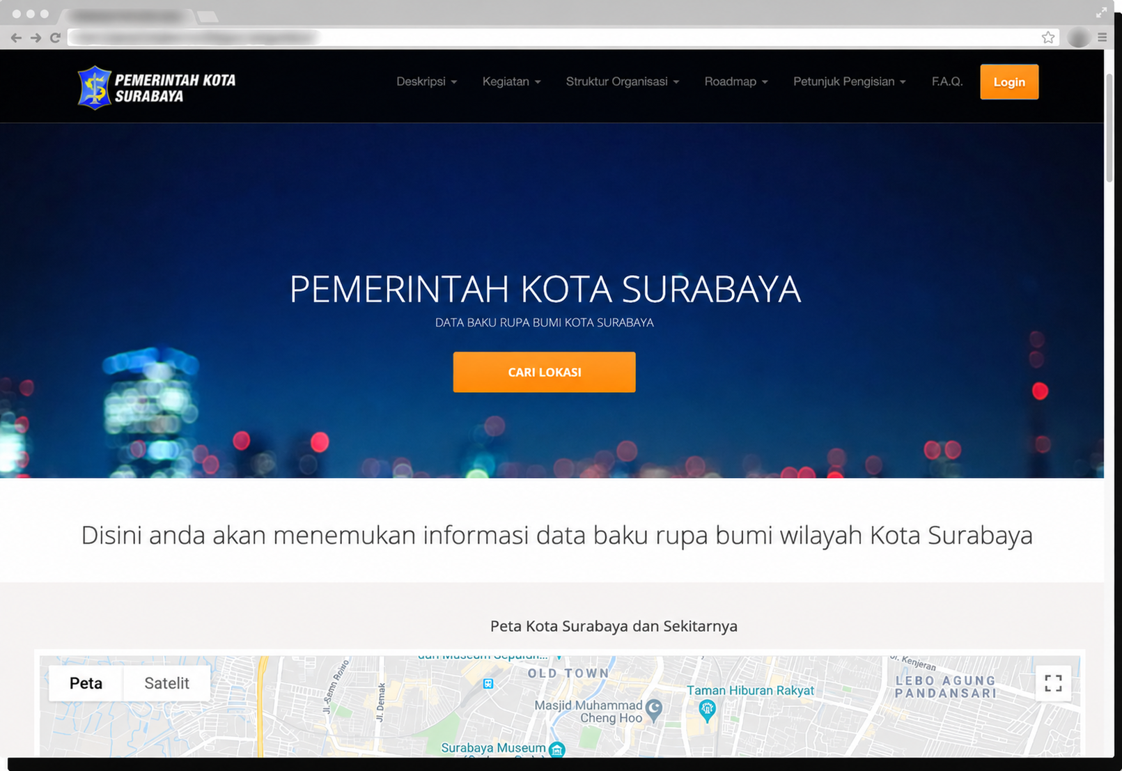
Engineered a specialized Geographic Information System (GIS) web portal for the Surabaya City Government (Pemerintah Kota Surabaya) to standardize, record, and map topographical earth elements (rupa bumi) across the municipal region. Built using CodeIgniter, MySQL, and Google Maps API, the application enables municipal administrators and field surveyors to catalog critical water management assets and public infrastructure including rivers, lakes, reservoirs, and water pump stations.
Technology
CodeIgniter, PHP, Google Maps API, MySQL, JavaScript, HTML5/CSS3, Bootstrap
Key features
- Interactive Google Maps GIS Mapping
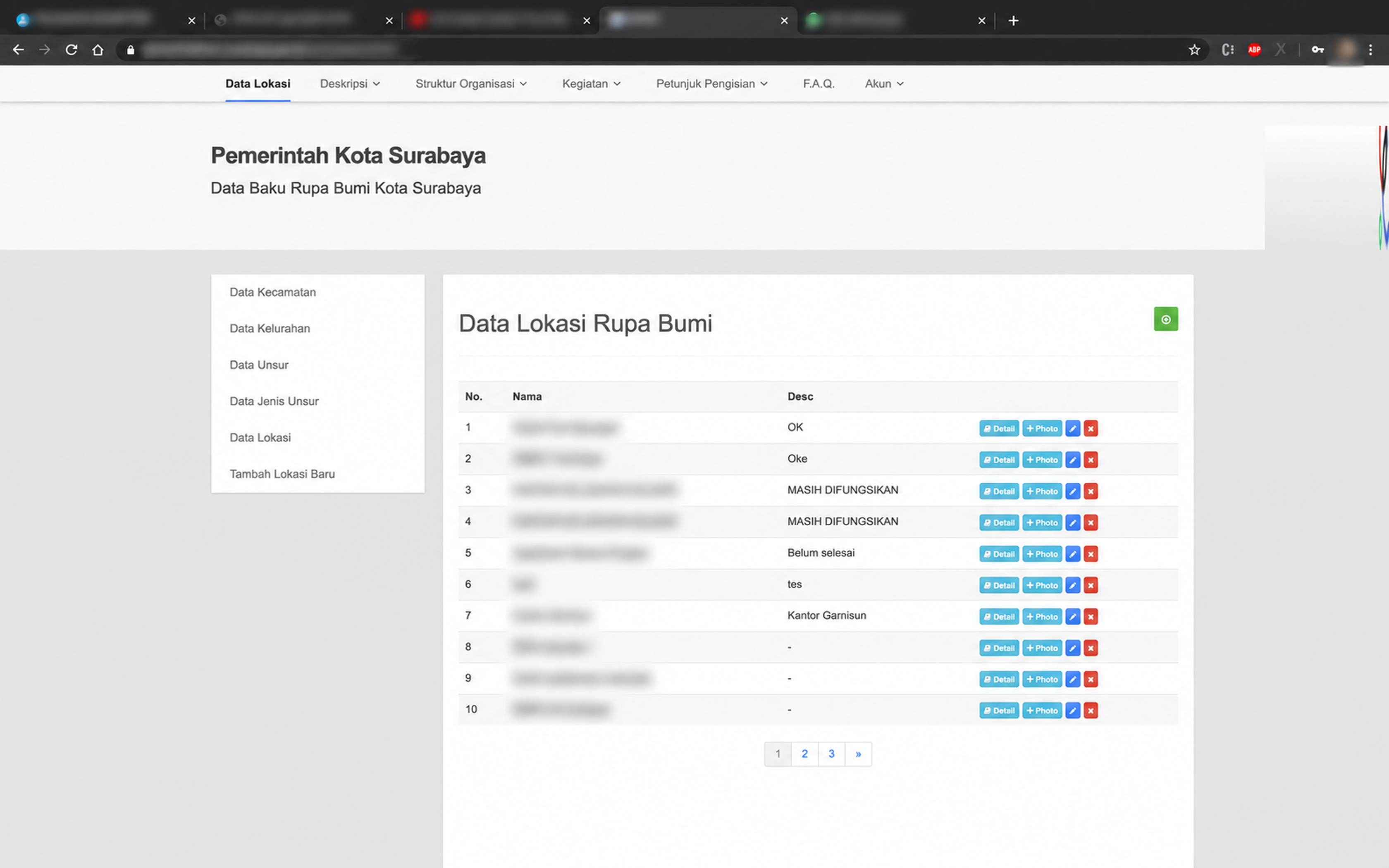
- Topographical Infrastructure Cataloging
- Municipal Spatial Search & Location Directory
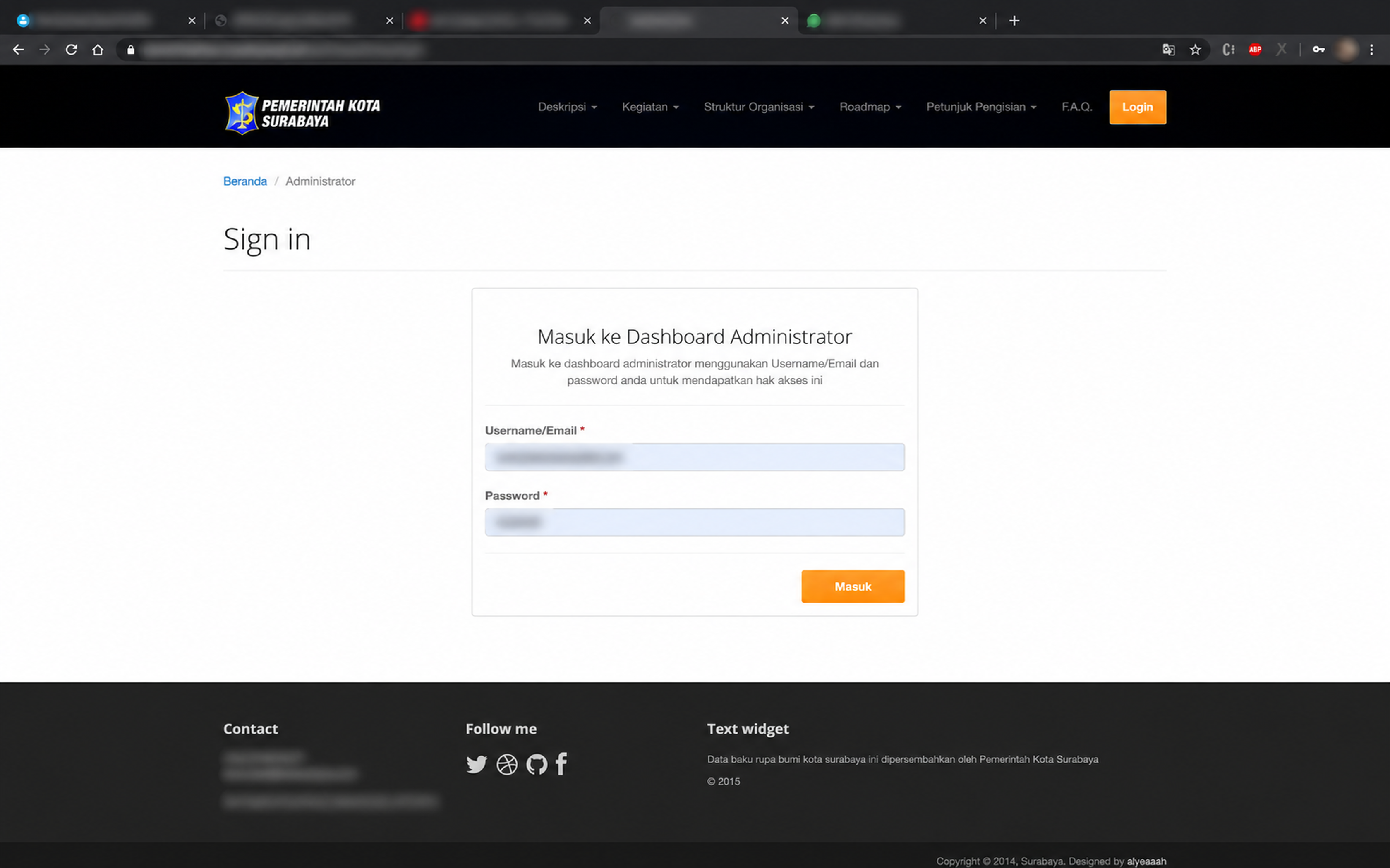
- Administrative Verification & Data Dashboard